For those who live on the Outer Banks, the words soundside flooding can carry heavy weight. As large storm events threaten coastal North Carolina, storm surge, and even high tides, can have a significant impact, particularly along the shores of the eight sounds of the Albemarle-Pamlico Estuarine System. Due to the location of inlets and the shape and depth of the Albemarle-Pamlico, tidal fluctuation in the sounds is generally wind-driven. In other words, the water levels are influenced more by wind speed and direction than by tides.

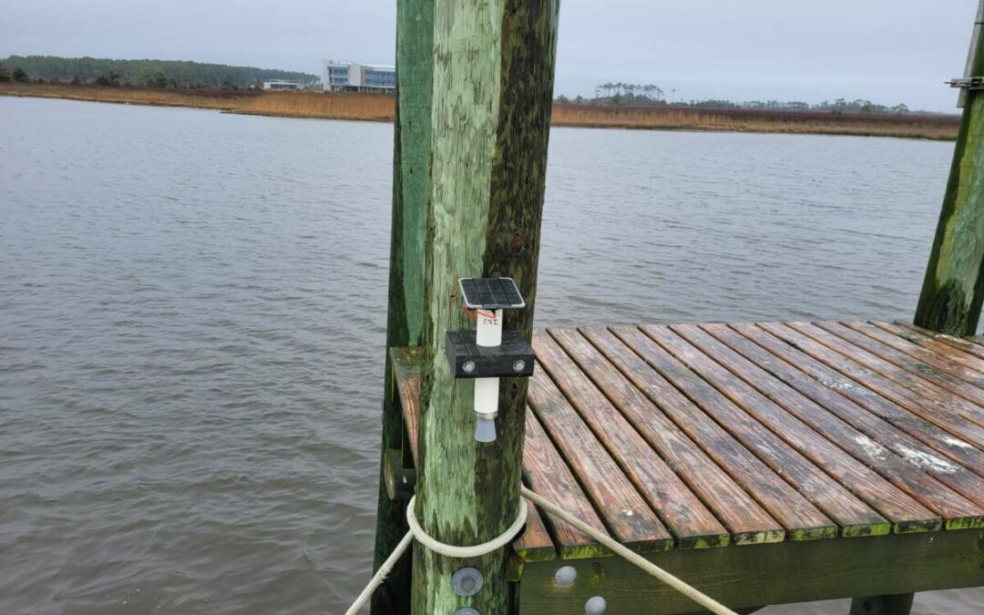
An example of the Hohonu sensors stationed across the Outer Banks.
The water that the wind blows back and forth in the estuary eventually levels out, but what happens in the middle of the process often causes the damage. Speaking in metaphorical terms, the estuary is like a giant bathtub, and the wind is like a person slipping into the back end of the tub for a nice soak. When the person enters, the water in the tub tends to slosh to the front leaving a high-water mark before rushing to the back again.
Coming back to reality, one can see why it is important not only to understand storm surge but also to know when storm surge may affect a given area. Luckily for residents of the Outer Banks, five Hohonu water level sensors have been situated, with two more to come, along the coast, and their real-time measurements are always accessible to the public.
Dr. Mike Muglia, a long-time OBX resident and oceanographer at the Coastal Studies Institute (CSI), has led the charge to get the Hohonu sensors put in place. Muglia, who received funding as part of a 5-year regional SECOORA campaign lead by Nicole Elko, worked with The Town of Nags Head, the Town of Southern Shores, and Drew Pearson at Dare County Emergency Management to secure the sensors and find suitable locations for them to be installed. The team also received help and generous site accommodations from Darold Shaefer, owner of Colington Creek Inn.


Muglia (CSI, left), Elko (SECOORA, middle), and Darold Shaefer (Colington Creek Inn, right), along with Pearsons (Dare County Emergency Management) and Mike Remige (Jennette’s Pier), scouted the area for the best sensor sites in early Spring 2021.
One sensor is located at each of the following sites: Southern Shores Civic Club South Marina (1), Colington Road by the first little bridge (2), Village of Nags Head Golf Links (3), just off the causeway to Manteo in Nags Head (4), and on a research platform located and maintained by CSI (5).

“This project will help inform our Outer Banks towns and emergency response folks to prepare and manage the rise in water levels that we frequently see with hurricanes and nor’easters,” explains Muglia.
“These gauges provide real-time water levels at several locations that let the public and emergency management professionals know when flooding may be occurring. For example, the gauge near Colington Road will let them know when the road may need to be closed for the frequent overwash events that occur there.”
So how can members of the public access the sensor readings? It’s really quite simple. Visit the Hohonu website, “check the tide” or log in, then view the sensor of choice using the map provided. The web interface allows viewers to see six days’ worth of data, including the last observed water level and predictions for the days ahead. As the height of hurricane season looms, now is a great time for Outer Banks residents to become familiar with the dangers of storm surge and be better prepared by taking advantage of the Hohonu water level sensors installed here on the Outer Banks.
Interested in having your K-12 class learn more about storm surge? Check out CSI’s “Rising Waters” Storm Surge Curriculum developed in partnership with Dr. Casey Dietrich, Assistant Professor at NC State University, and funded by North Carolina Sea Grant.
 ECU's Integrated Coastal Programs (ECU ICP) is a leader in coastal and marine research, education, and engagement. ECU ICP includes the Coastal Studies Institute, ECU's Department of Coastal Studies, and ECU Diving and Water Safety.
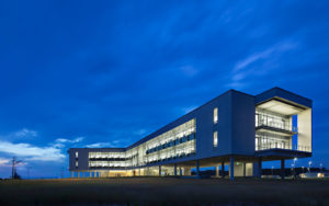
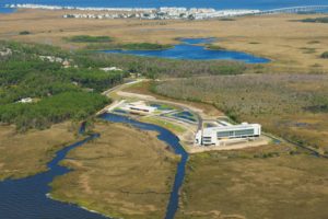 The ECU Outer Banks campus is home to the Coastal Studies Institute.

