Teacher resources
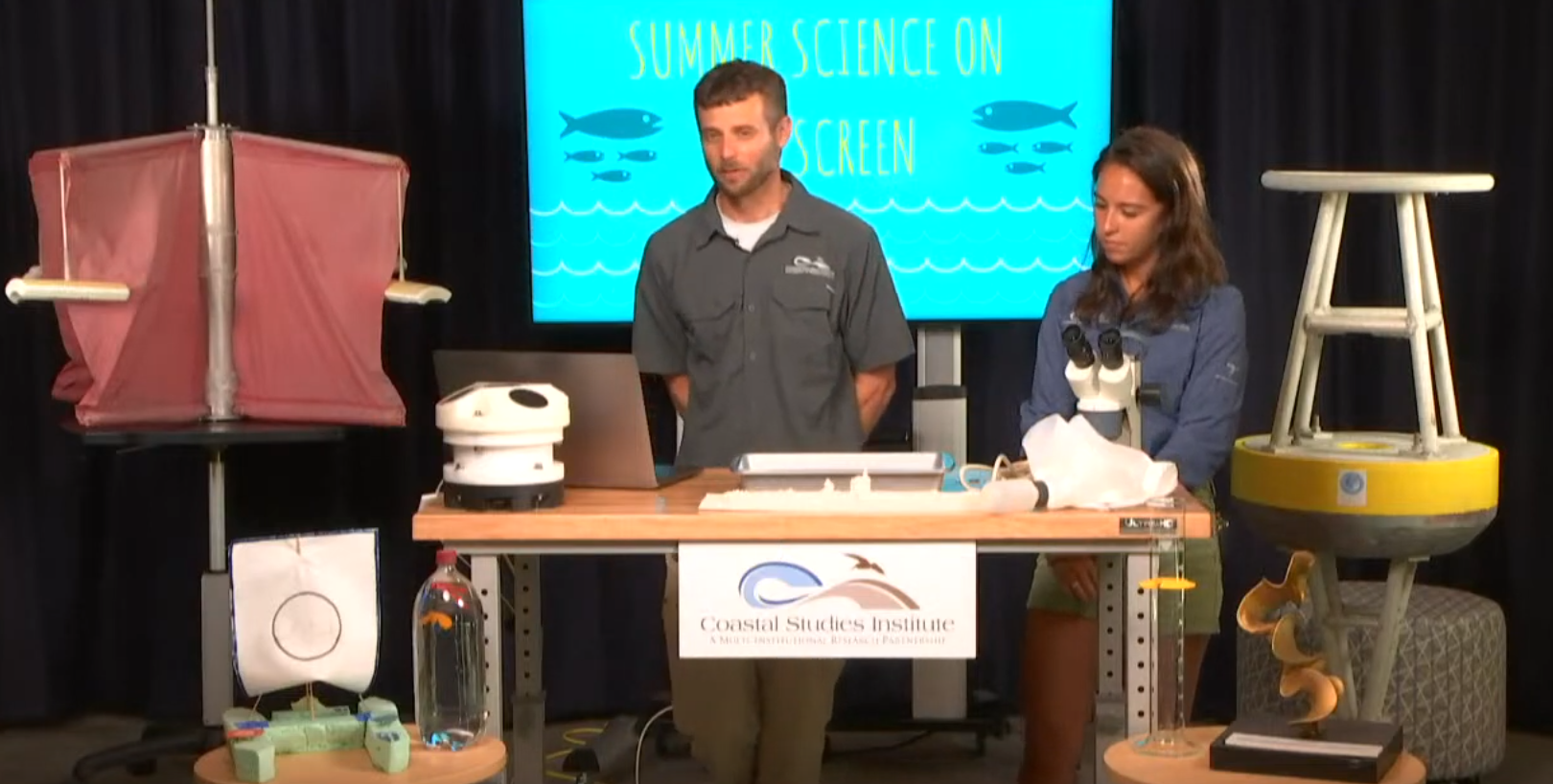
CSI is dedicated to providing resources and activities to aid teachers of K–12 classes in fulfilling curriculum requirements and making learning fun. It is our goal to provide activities and curricula that are relevant to northeastern North Carolina while meeting current NC Science Standards and Learning Objectives. These activities will be posted as they become available. Below is a series of activities for students, teacher lesson plans, and links to archived data and videos.
Student Activities
These activities can be used in conjunction with other CSI programs or as stand alone activities for students that relate to the research done at CSI. The activities stimulate thinking on topics covered in CSI’s on-site programs and can be also used before or after a program. Click on the photo for a PDF document of the activities. For questions, please contact John McCord or Parker Kellam or call 252-475-5450.
Coastal Communities
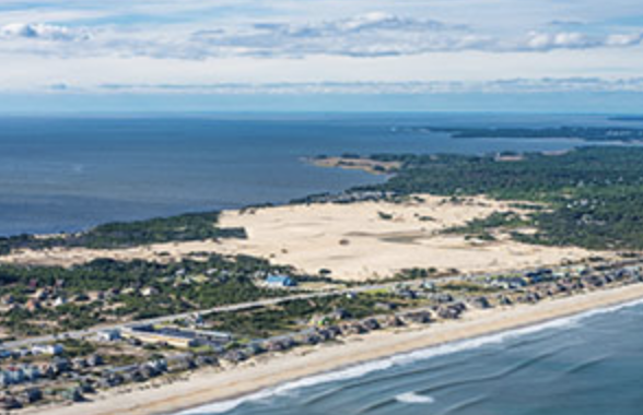
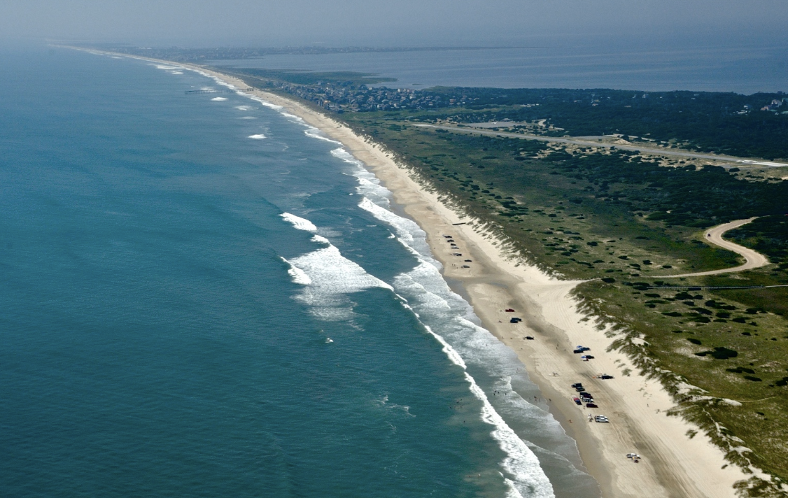
This program asks students to read a short newspaper article and answer questions considering the future resiliency of the Outer Banks coastal community. The article outlines some of the challenges facing coastal communities, and students are asked to reflect on the needs of a community and plan for the future.
Shoreline Change
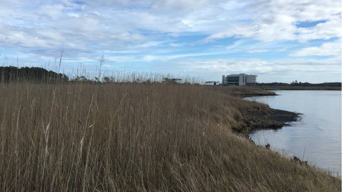
This short activity asks students to attend a virtual lecture or watch a short video on a research project focused on reducing erosion. The activity asks them some questions about what is happening on the Outer Banks and then asks them to use Google Earth to measure the distance from a shoreline to their home. A few questions about rates of change will stimiulate thinking about the future.
Gulf Stream observations
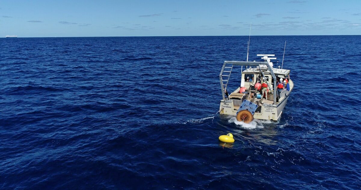
This program asks students to watch a short video on the Gulf Stream as a potential energy source for electricity and the research that goes into understanding it. A series of simple graphs and time vs distance word problems will further investigate how this water current moves.
Energy Audit
This activity asks students to record the amount of energy they use in different aspects of their lives. The goal is to find ways to reduce energy needs as part of a discussion about alternative energies, and the impact people have on the environment. This program also works well as an activity for students before visiting CSI for an alternative energy program.
Marine technology
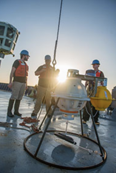
In this activity, students will learn some of the ways technology is used in coastal research, and there is a link to virtually drive a Remotely Operated Vehicle (ROV). Students can pilot the underwater robot on different scientific missions.
Storm Surge Curriculum
“Rising Waters” is a 2-part education program developed in partnership with Casey Dietrich (Assistant Professor, North Carolina State University) and funded by North Carolina Sea Grant. The program will highlight new research that focuses on the impact of storms on the estuary surge and circulation, especially in coastal North Carolina. The education program includes pre-visit activities and a visit to CSI or a virtual experience. The lessons are aimed at middle and high school classes, specifically 8th-grade science and Earth and Environmental Science. Please contact us to let us know you would like to use the programs. All busing and program fees will be covered when visits to CSI become available. Please contact Parker Kellam or call 252-475-5452 to schedule the program.
Part 1: Student activities prior to (virtual) visit
These activities provide background information and are to be completed before the visit to CSI or the virtual programs. Constructing a model home (Activity 4) MUST be done prior to the CSI visit so home adaptations can be tested in the wave tank.
Part 2: Virtual or CSI experience
There are multiple hands-on experiences that relate to storm surge, including testing model homes in a “storm”, exploring barrier islands through augmented reality, and mathematical modeling. Students can also complete the activities below. If conducting these activities in place of a visit to our facility, educators at CSI are available to lead discussions or assist with the debate.
Teacher Lesson Plans
Educators at the Coastal Studies Institute provide lesson plans and teacher resources showcasing ongoing research at the Institute and were designed according to North Carolina education standards. The lesson plan topics include research that occurs at CSI, and many topics have videos and student activities that complement the lesson plans. Please direct any questions to John McCord or Parker Kellam or call 252-475-5450.
Beach nourishment
Rodanthe Emergency Channel Project – Oceanographic & Coastal Processes
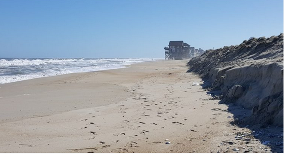
This activity challenges students to duplicate the methods scientists use when studying sediment samples, while also using their findings to make informed decisions facing coastal communities.
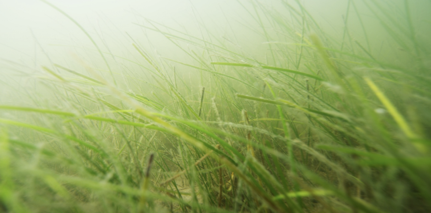
Submerged Aquatic Vegetation as Habitat
Rodanthe Emergency Channel Project – Marine and Coastal Ecosystems
SAV is important in maintaining the health, productivity, and maintenance of our estuaries by offering a sanctuary to various species of fish, turtles, and invertebrates. This programming offers students a hands-on activity that is both engaging and instructive in the understanding of the ecosystem services that SAV provides in North Carolina’s estuaries.
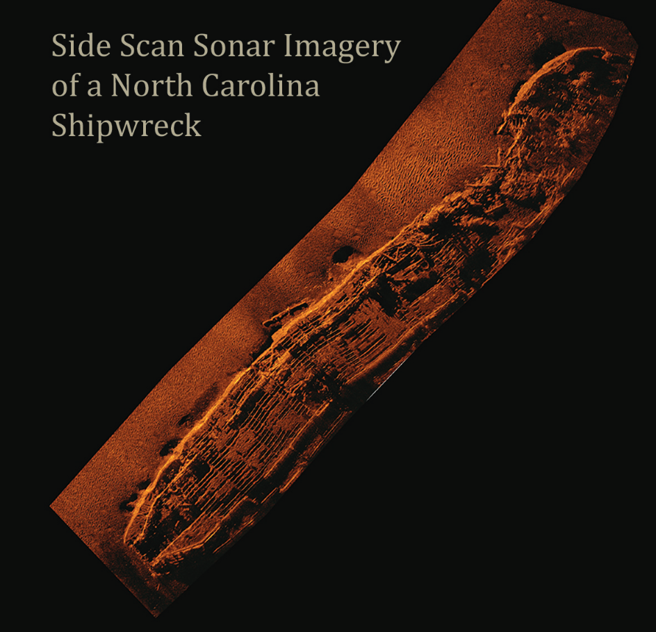
Using sound for scientific discovery
Rodanthe Emergency Channel Project – Maritime Heritage
Ocean scientists, like geologists and maritime archaeologists, use sound waves to detect underwater features through the use of sonar. This experiment demonstrates how determining the velocity of sound in certain mediums can aid us in scientific discovery.
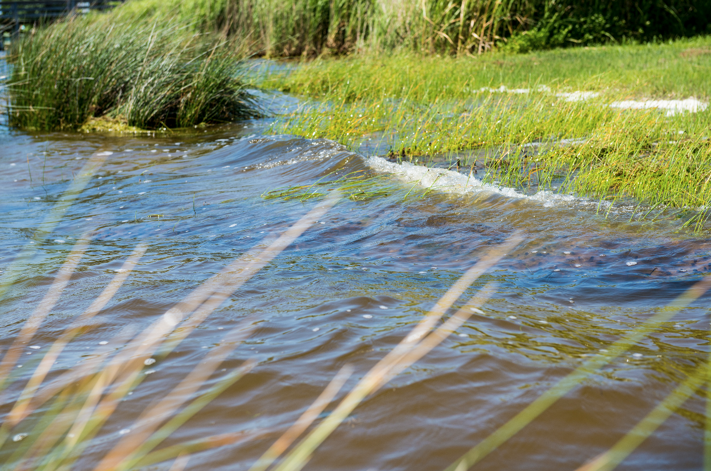
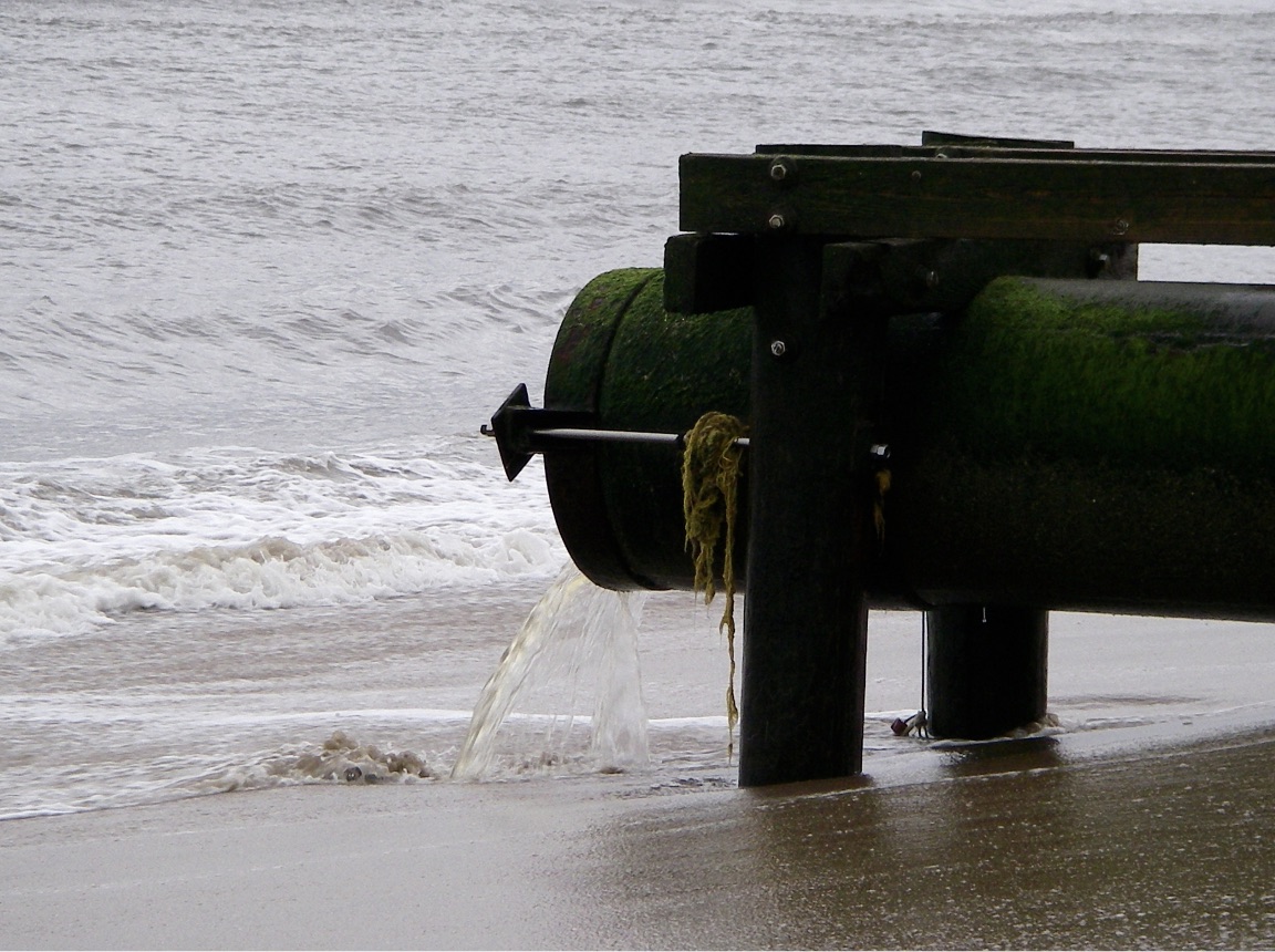
Stormwater effects
Rodanthe Emergency Channel Project – Coasts and People
This experiment offers an observable reaction to an increase of nutrients and provides an opportunity for discussion about the nitrogen cycle, food webs, and human effects on the environment.
ocean energy and education
Renewable Ocean Energy Project – Renewable Ocean Energy
This lesson plan encourages students to think about the energy challenges we face and the role of alternative energy as part of our grid in the future of power production.
Data Sources
CSI researchers and collaborative agencies collect scientific data on a variety of subjects that is available for public use. Please see links below to real-time data sources in North Carolina that can be used in the classroom.
Water Quality
- Division of Marine Fisheries Sampling Data – The North Carolina Division of Marine Fisheries provides online sampling data concerning water quality in North Carolina recreational waters.
Ocean Observing
- CSI wave-rider buoy – Located 9 miles off of Oregon Inlet, the wave-rider buoy records wave height, period, direction, and surface water temperature.
- Surface Currents – The Southeast Coastal Ocean Observing Regional Association provides high-resolution animations of surface current measurements.
- Surface Currents International – The Coastal Observing Research and Development Center provides HFRADAR derived surface currents in a number of formats.
Videos
The Coastal Studies Institute provides educational videos communicating the research carried out at the Institute. A selection of these videos is below, but for a full list of nearly 100 videos visit our Youtube Channel by clicking the button below. To see new content and live-streams as soon as they are published, be sure to subscribe!
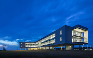
 Based at the Coastal Studies Institute (CSI), the North Carolina Renewable Ocean Energy Program (NCROEP) advances inter-disciplinary marine energy solutions across UNC System partner colleges of engineering at NC State University, UNC Charlotte, and NC A&T University. Click on the links below for more information.
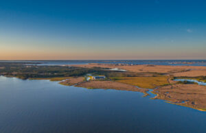 ECU's Integrated Coastal Programs (ECU ICP) is a leader in coastal and marine research, education, and engagement. ECU ICP includes the Coastal Studies Institute, ECU's Department of Coastal Studies, and ECU Diving and Water Safety.
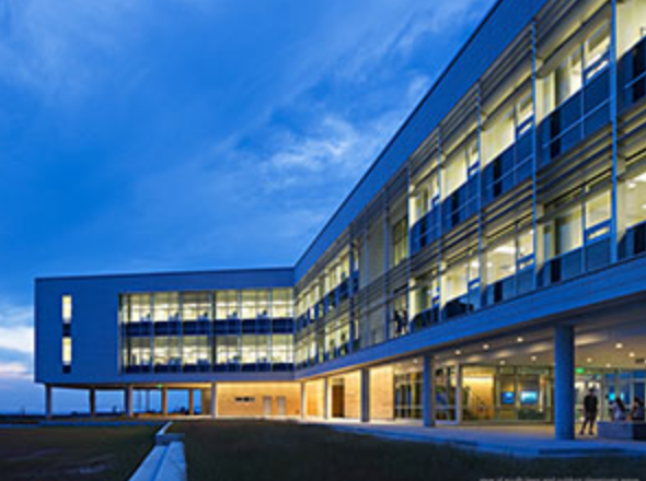
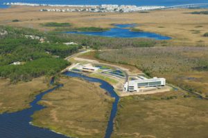 The ECU Outer Banks campus is home to the Coastal Studies Institute.